It is summer 2016 and I am fortunate to be leading a school DofE group to Iceland. We are heading to the Pösmork (Thorsmork) valley and will walk the Laugavegur trail from Pösmork to Landmannalaugar.
This is the third time I have done this trek, but the first time to have walked in this direction. The first time I was on this trek was 2003 then again in 2010 and over the years it has seen more and more traffic. There has also been the internet explosion and you can now get a WiFi signal at most of the huts and certainly phone reception all the way along the route. The first time I visited Iceland I took a satellite phone with me in case I needed assistance (or my wife who was very pregnant at the time was letting me know that my son was born!) however in 2016 a regular mobile phone will suffice- just be aware that there are limited places that you can charge your device up if you camp rather than stay in the huts.
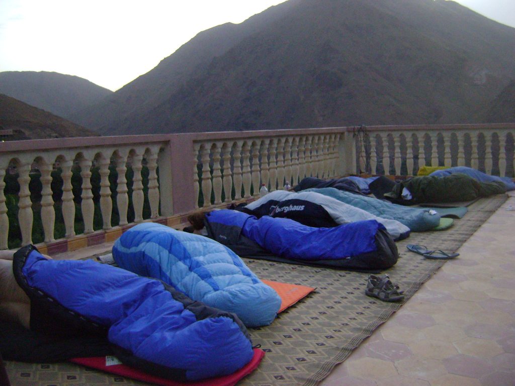
Our first day saw us fly from the UK to Keflavik. A large delay at the airport where we worked out what had happened to our coach and driver saw us heading over the barren landscape past the Blue Lagoon (overpriced if you ask me) towards Reykjavik and our home for the night- the camp site virtually in the centre of the capital city. It is the London equivalent of being able to camp in Battersea park. From the camp site you can walk into the centre of town in about half an hour and right next door to the site is a huge open air geothermic swimming pool with slides and chutes to zoom down.
The next day we transferred to Pösmork via various interesting sights- it takes a few hours and being able to stop and look at the waterfalls breaks up the journey.
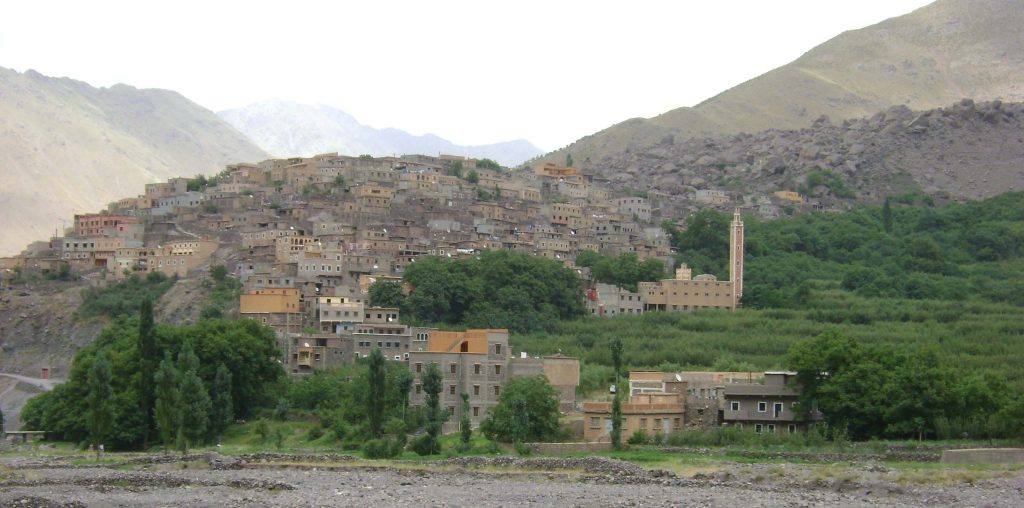
The bus wound its way up the Pösmork valley and makes some interesting river (stream?) crossings before finally stopping at the Volcano huts next to the River and to our right is the huge Eyjafjallajökull Volcano (the one that exploded in Easter 2010). We are welcomed by some lovely hosts and made to feel very welcome. Sitting inside whilst it rains outside is great and we can cook our food (the first of many imported freeze dried meals) in one of the kitchens. A warm fire means that we can sit read/ chat/ play the guitar and get excited about our walk ahead.
Trek Day 1 Pösmork to Botnar
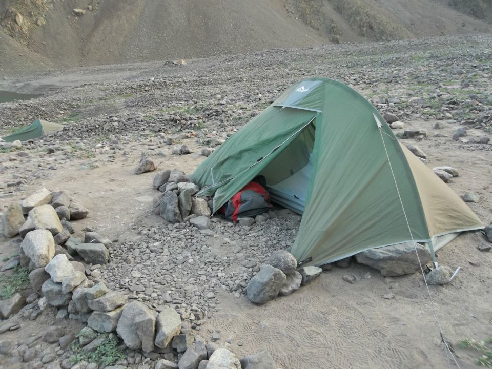
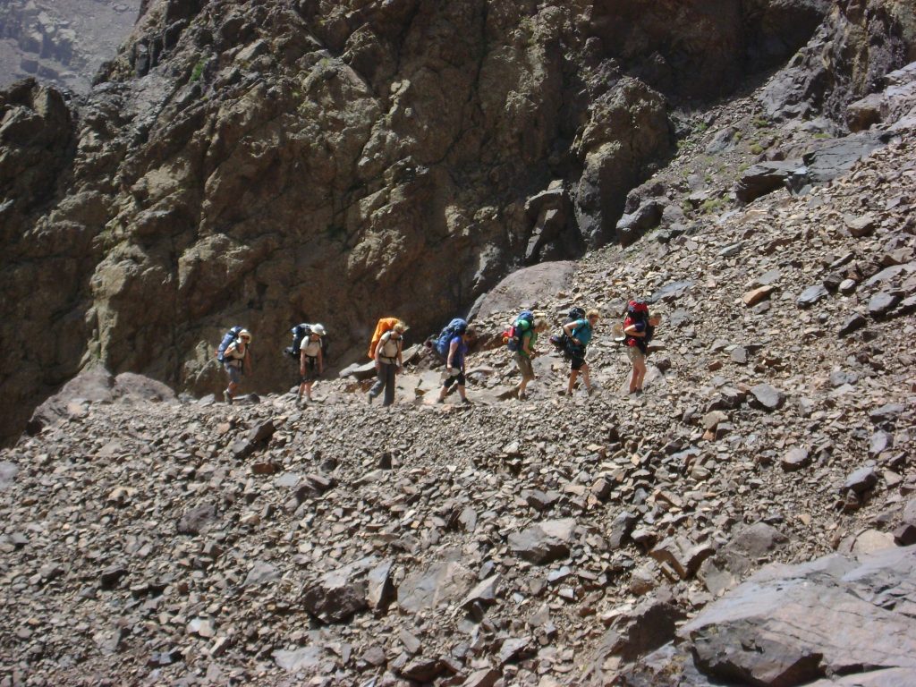
We depart from the camp group having weighed, re-weighed our ruck sacks. Wondered about what we can leave behind, what the heaviest food is that we can eat on day one and we are off. We head north and shortly are taking shoes and socks off for the first time to cross a stream. It is not big but would be calf deep in places and taking our shoes off means that we can have dry feet on the other side of the river.
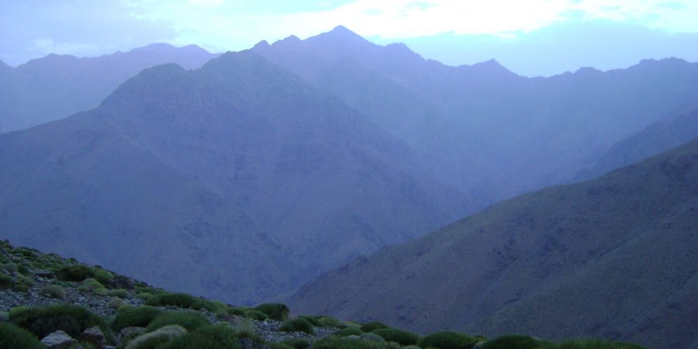
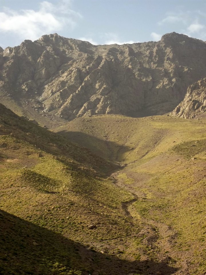
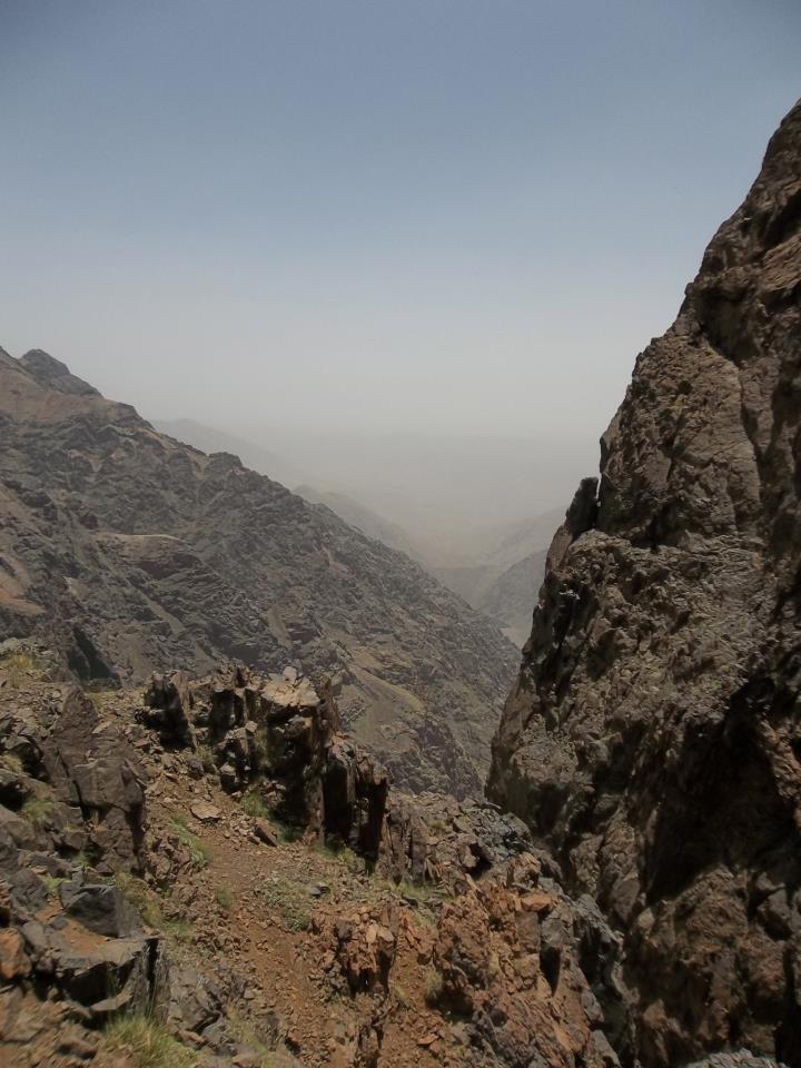
We pass through a variety of scenery and steadily walk up hill through the dense birch forests. We have moved from the Thorsmork valley and head into more expansive vistas.
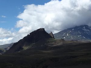
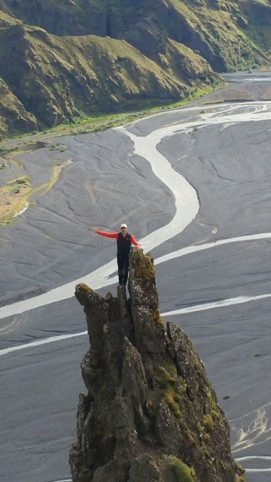
I enjoy passing the mountain Einhyrningur. I think it looks very much like a Rhino, according to Icelandic translation it is a “unicorn”. Maybe my school should put a photo of it up to match the unicorn that is next to the entrance I pass every day.
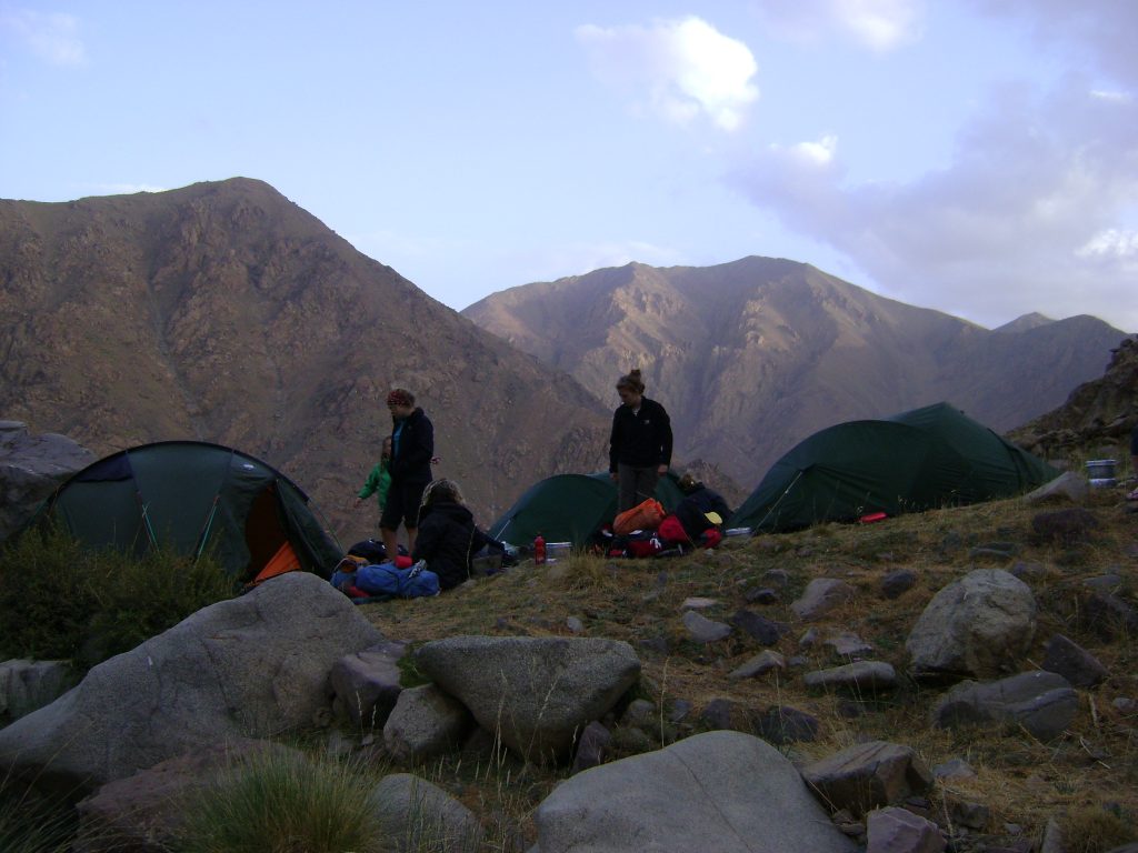
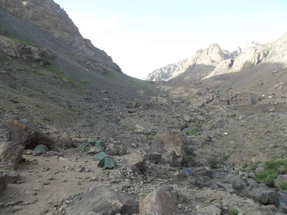
We arrive late in the day and there are many people camping at Botnar. We manage to find a space and have a small valley to ourselves near to the hut. All of the huts have toilets which are fairly clean considering the use they get. As the trail is so popular, using the hut facilities is important unless you are going to properly bury your waste.
Day distance 15Km +300m ascent approx 7 hours
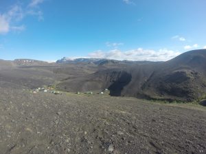
the camp site at Botnar
Trek Day 2 Botnar to Alftavatn
We leave in the sunshine and walk past all the other tents closer to the hut. This day involves a number of river crossings and I am glad that the water levels are not very high. They are still high enough to mean that we have taken our shoes off and some of the cars turn around on the track rather than continuing along the F210.
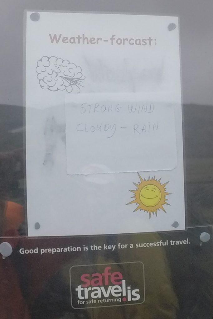
After about 13Km we reach the group of huts at Hvanngil. The weather forecast is published in the window of the hut and rather than heed the warning about the weather we decide to continue onto Alftavatn. Slight mistake! The hut at Alftavatn is on a wide plane and there is no shelter at all. As we arrive at about 5pm there are many tents already pitched. We find a slot and spend the next hour or so picking up more rocks from nearby to build protective walls around our tents and rest on top of tent pegs.
Day distance 15Km Time about 7 hours
Trek Day 3 – the storm day!
We were woken regularly during the night with shouts/ screams from the pupils about the fact that their tent had blown away…! Having re-organised the group at 2am and squished students into each others tents for the night I survey the scene at about 8am. The storm is due to continue for the next 12 hours so we stay put. The decision was difficult but I knew that we would be ascending to 1600m and we had just met a group coming the other way who had complained about the depth of snow at their hut – and this is July!
Well you can’t say we were not warned
Trek Day 4 Alftavatn to Landmannalaugar
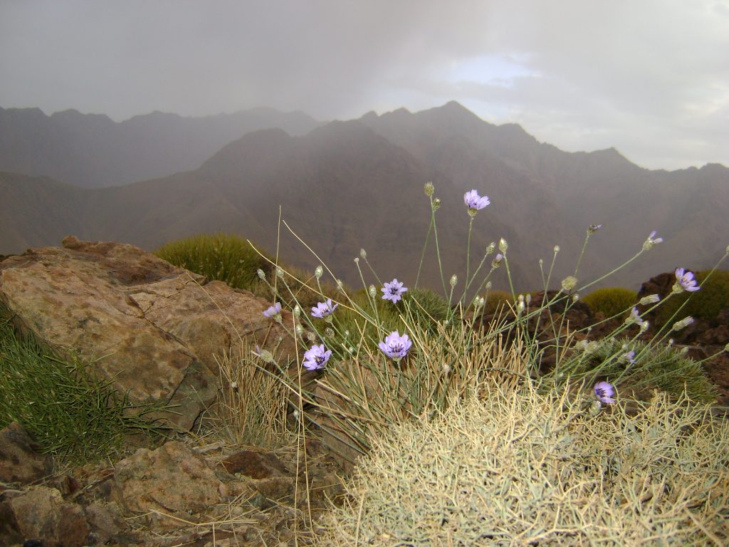
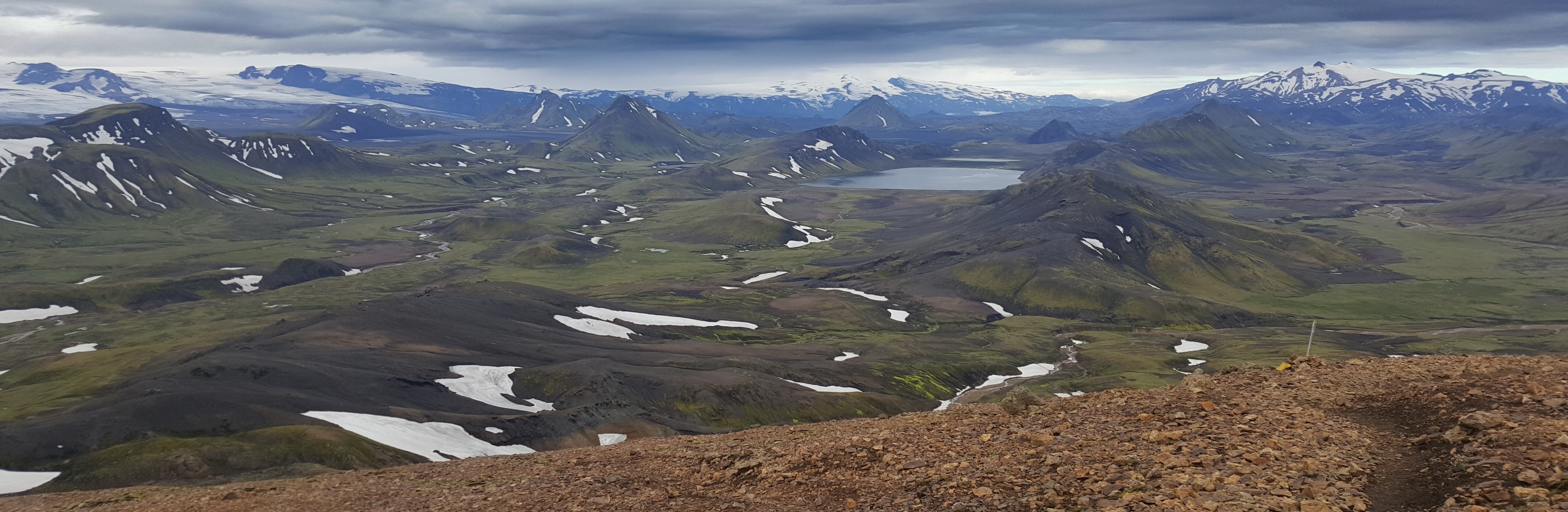
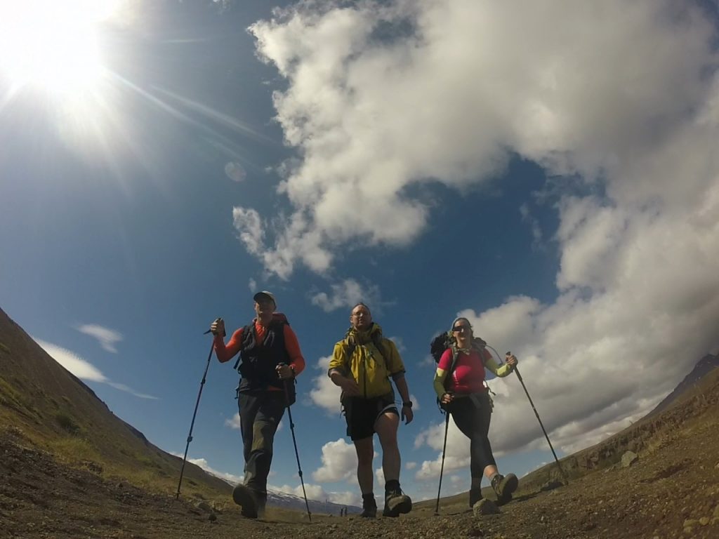
We happily set off early in the morning knowing that we have a 20+Km walk to complete today. This is the most beautiful section in my opinion. We pass huge Rhiolitic valleys, steaming caves, boiling mud pools and the views are amazing. The bad weather has passed and we are blessed with stunning views. It is not cold but there is a brisk wind still blowing through.
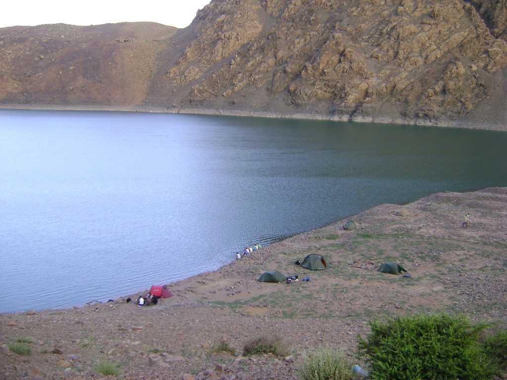
After passing the hut at Hrafntinnusker we descend down to Landmannalaugar and start to see lots more people out for their day hikes from the valley. I feel as though I’m walking through middle earth, it’s steaming and there is the constant smell of Sulphur in the air, finally we make it to the camp site at Landmannalaugar and try to find a place for the tents.
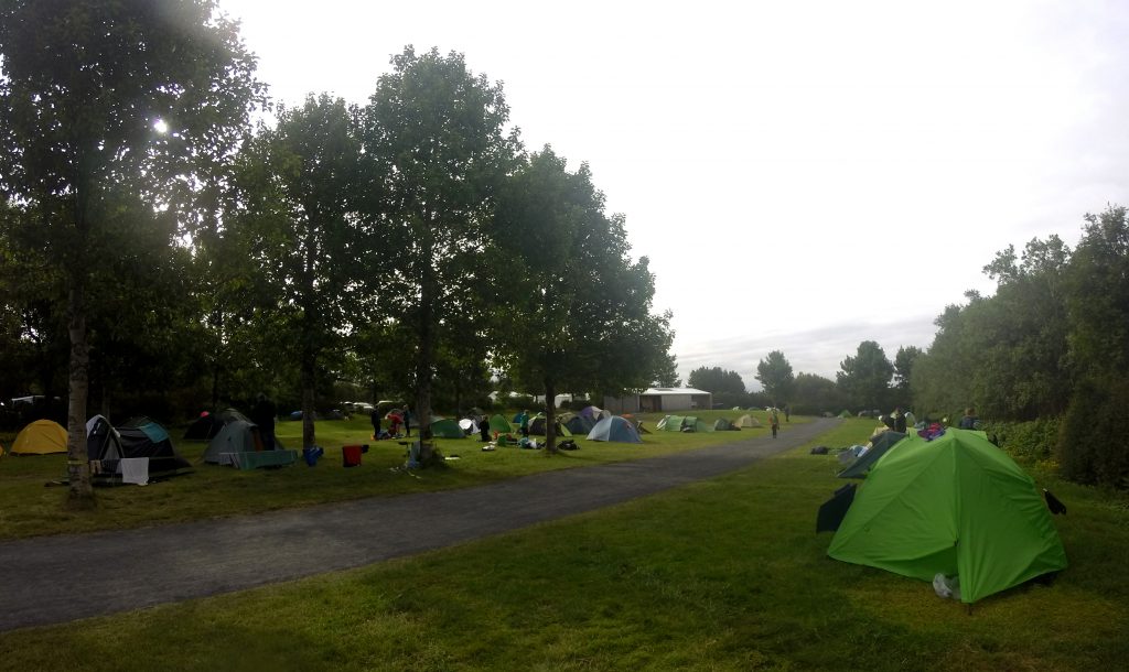
The camp site is very busy by comparison to other sections of the trail. The floor is stony and tent pegs do not go very easily into the ground. However, on the plus side we are able to bath in the pool and recover- it is very cold walking down there in shorts and flip flops but lying down looking up at the evening sky trying to find warm spots in the water rather than boiling areas is a very enjoyable activity. We are also all able to chat about the walk, our recovery from the storm and plan the next phase of our trip- White water rafting and sightseeing around the Golden circle.
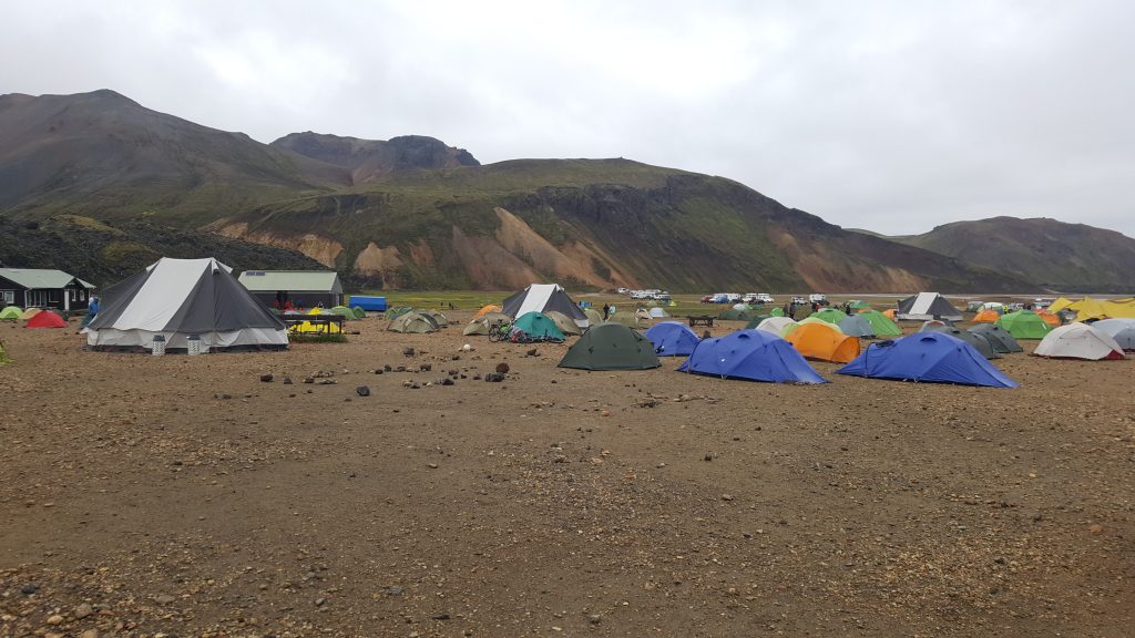
The huge array of tents at the Landmannalaguar campsite
Day distance: 24Km + 700m ascent
Overall the trip is 55Km long and can relatively easily be covered in 4 days- we did it in 3 because of the storm and one of the joys of going from South towards the North is that you finish up with one of the best features of the route- the natural geothermic lagoon at the end of your route. Also, going South to North means that you have the prevailing winds and sun behind you. There are pros and cons either way!
Tips for trekking in Iceland
- shop around for coach transfers and get the cheapest- the price will vary considerably.
- People are very pleased to see you and will probably help you
- It will probably rain at some stage and when it does it really rains hard
- The Landmannalaguar to Posmork trek is very popular and you will follow a trail of people doing the same trek. If you want to get away from the crowds then choose somewhere else!